Property Images
 |  |
 |  |
 |  |
 |  |
 |  |
 |  |
 |  |
 |  |
 |  |
 |  |
 |  |
 |  |
 |  |
 |  |
 |  |
Cedar County| ONLINE: CLOSES Thur, Dec 10 | 4 Tracts | 467.8 Acres| Virgil City MO


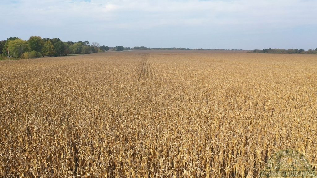
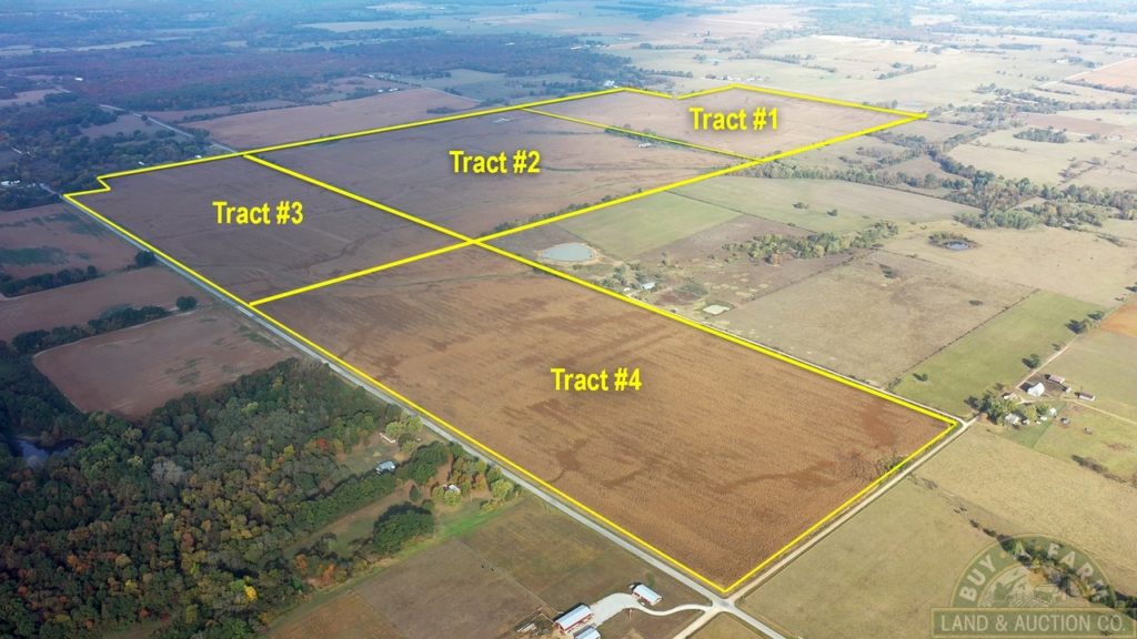
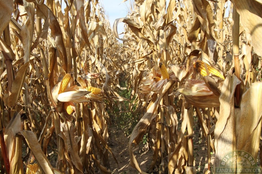
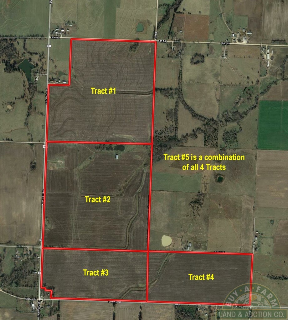
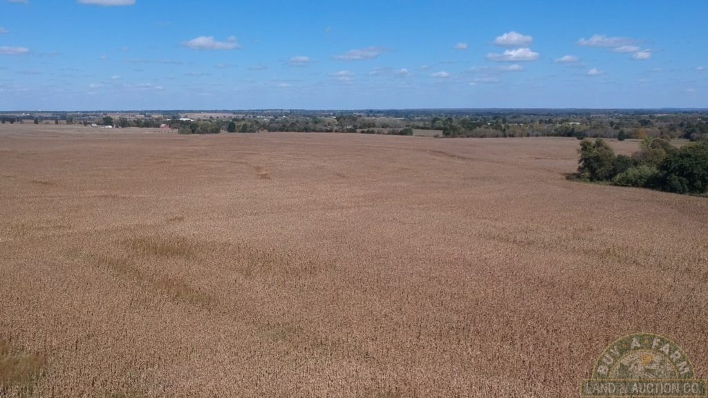
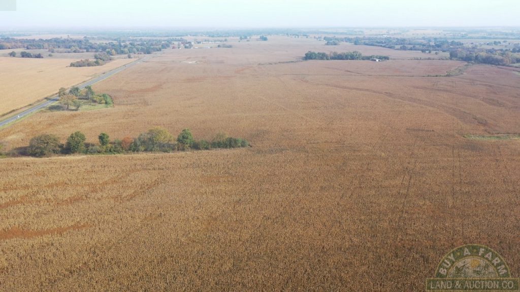
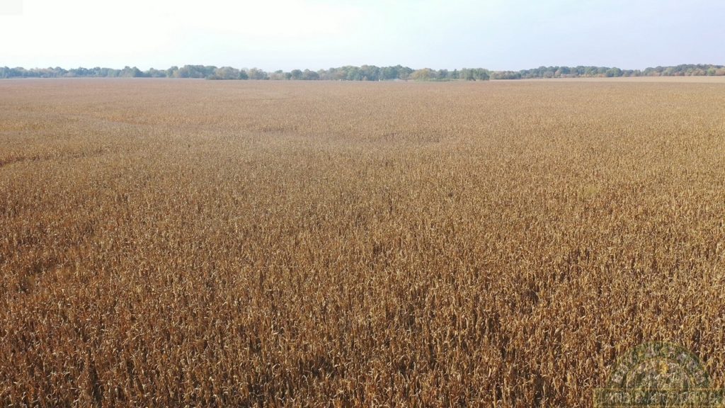
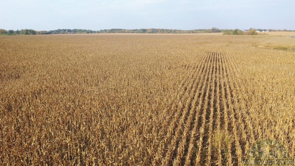
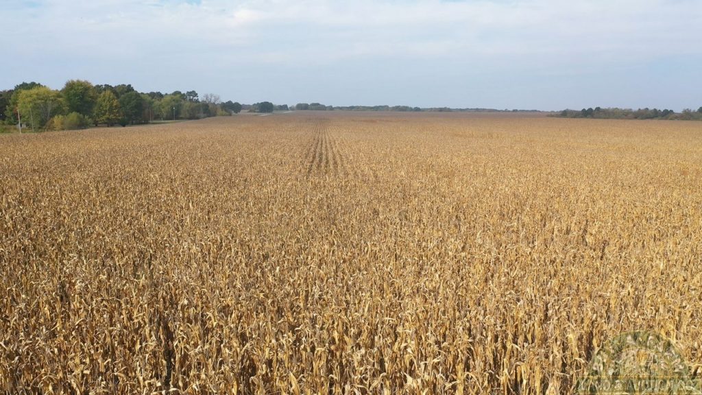
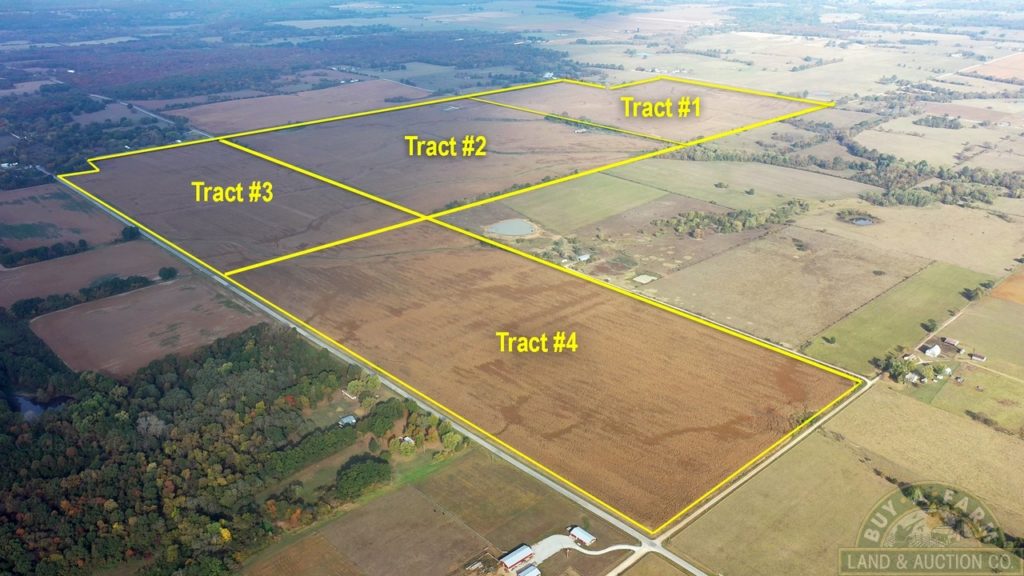
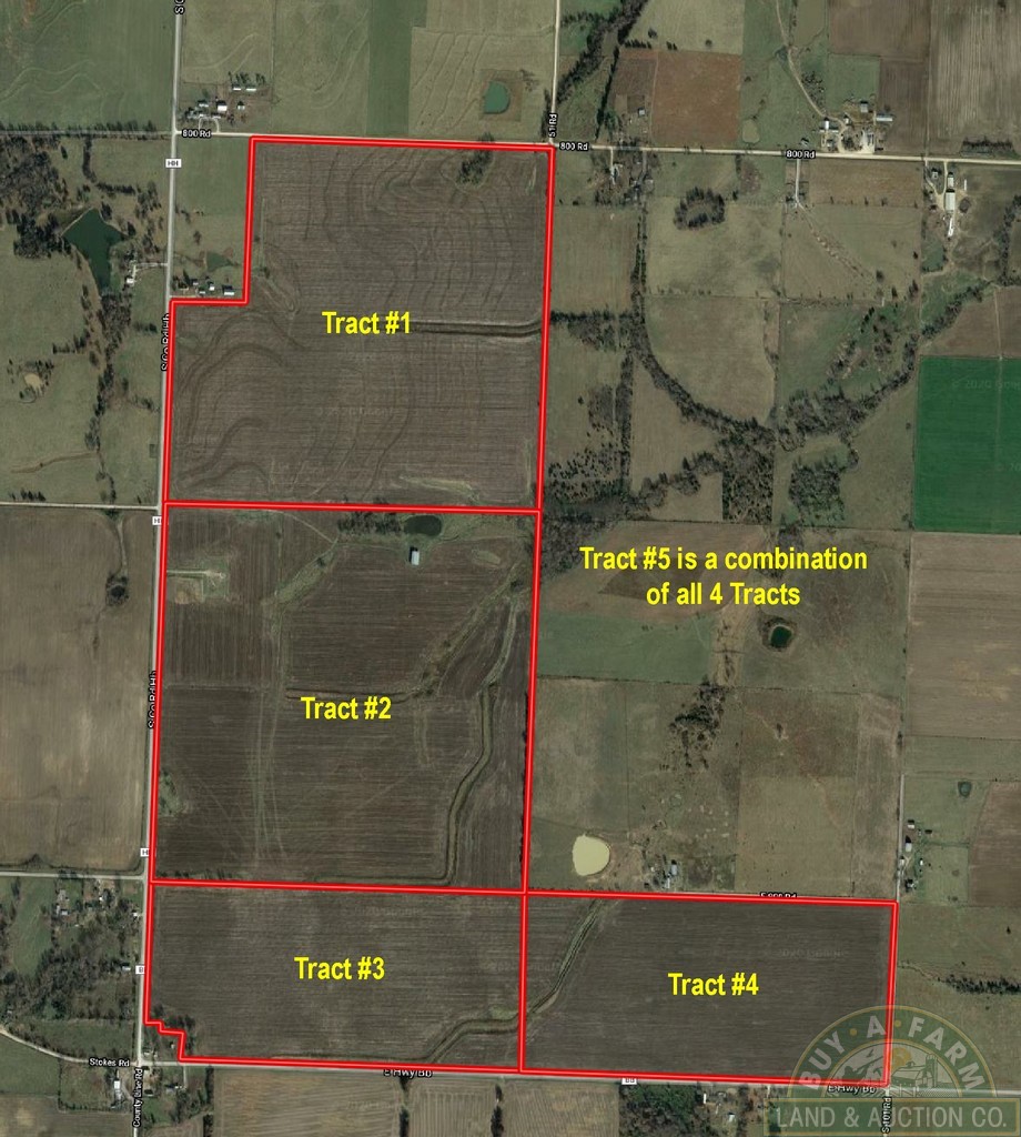
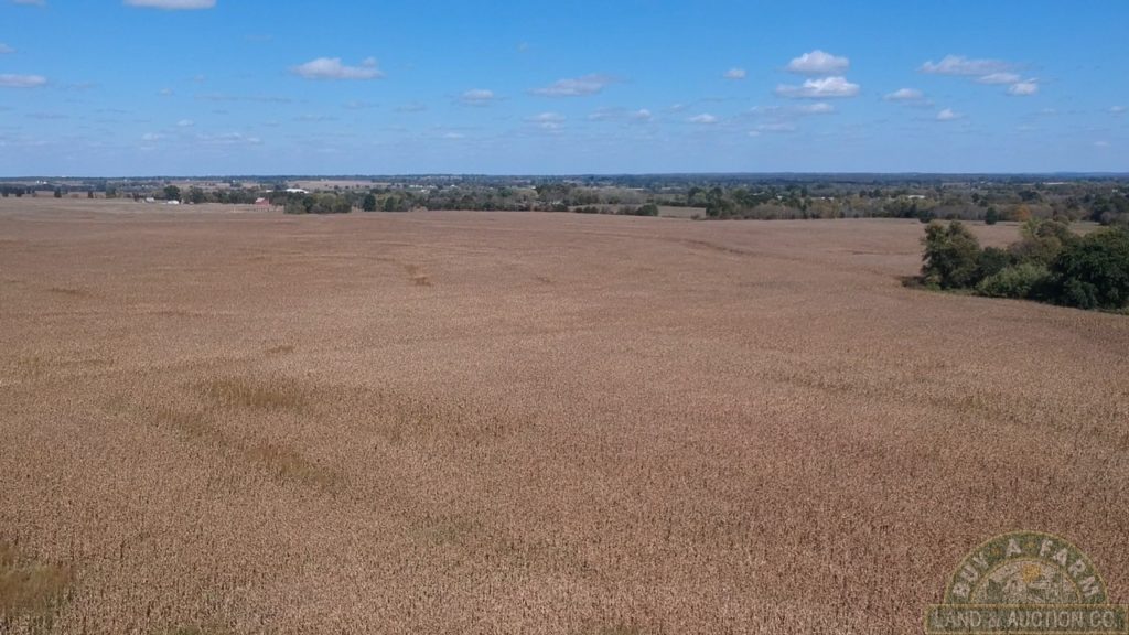
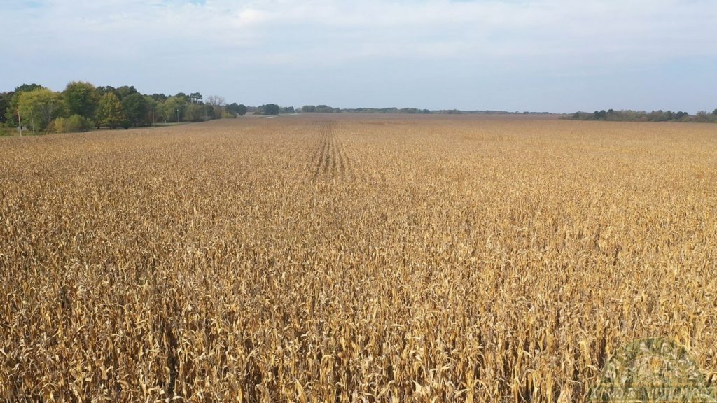
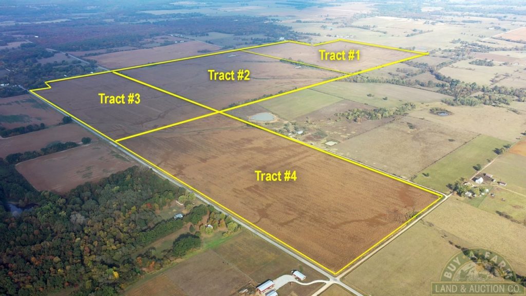
467.8 acres located on East Hwy BB and South County Road HH near Virgil City and El Dorado Springs MO. 425+- cropland acres. This farm borders Vernon County and will be offered in 4 tracts and as a combination. A high percentage of the soil types are Barden Silt Loam and Barco Sylvania Complex. The NCCPI average for this farm is 69.2. Cedar County has an average NCCPI score of 50. No Buyer's Premium. Possession upon completion of the sale. The 2019 taxes were $1.16 per acre. Farm lease is open for the 2021 crop year.
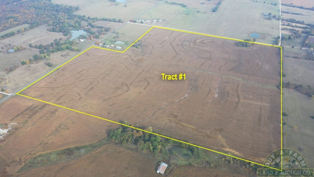
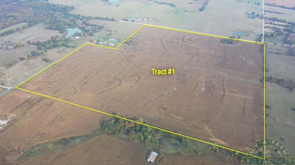
Tract #1: 148.2+- Acres
Mostly tillable. Frontage on County Road HH and E800 Road.
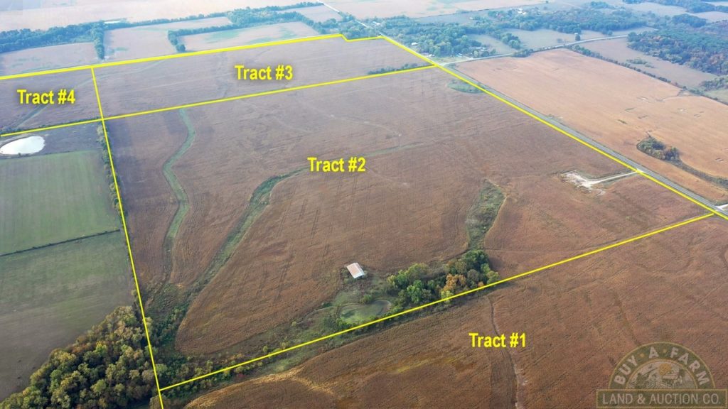
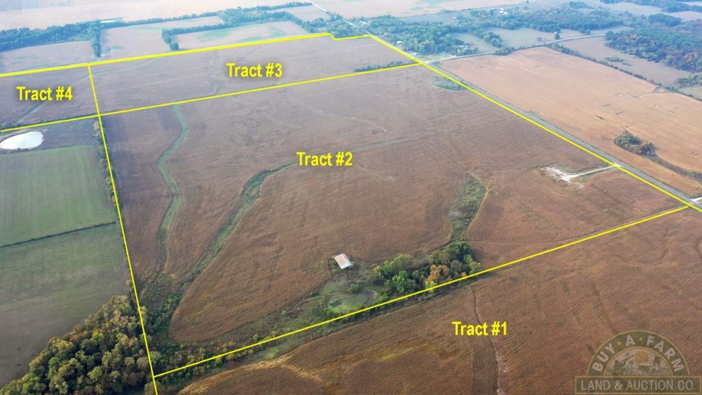
Tract #2: 161.9+- Acres
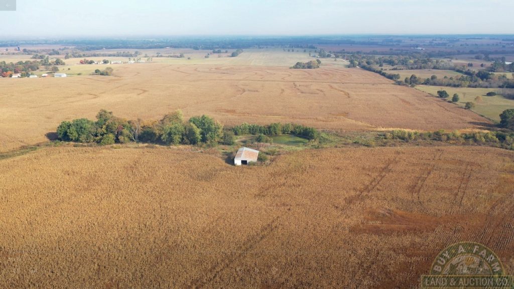
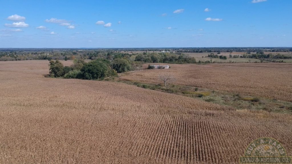
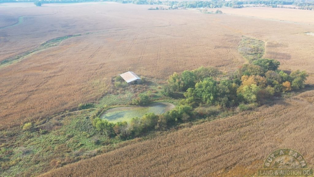
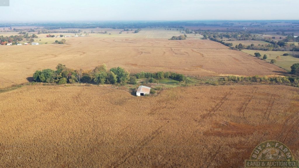
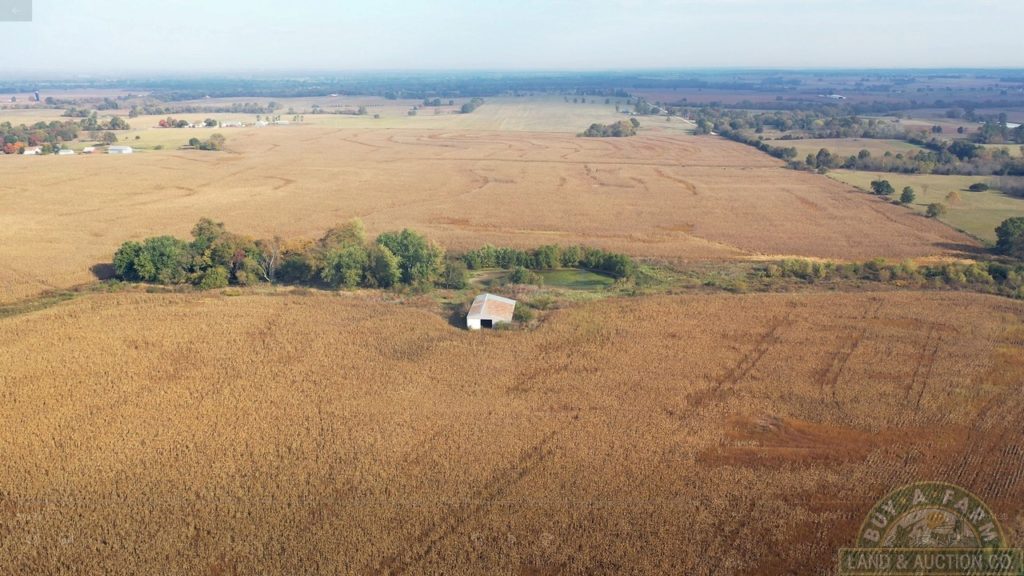
Mostly tillable. Frontage on County Road HH. On the west edge there are 26.2 acres that was one of the US Minuteman Missile Site H0tel #8. There are some land use restrictions for this 26.2 acres. Improvements or changes in use will need approval from the Missouri Department of Natural Resources. This area has an all-weather road that would make a great turn around or staging area for large trucks and equipment or possible storage facility with approval. There is a pond and machine shed.
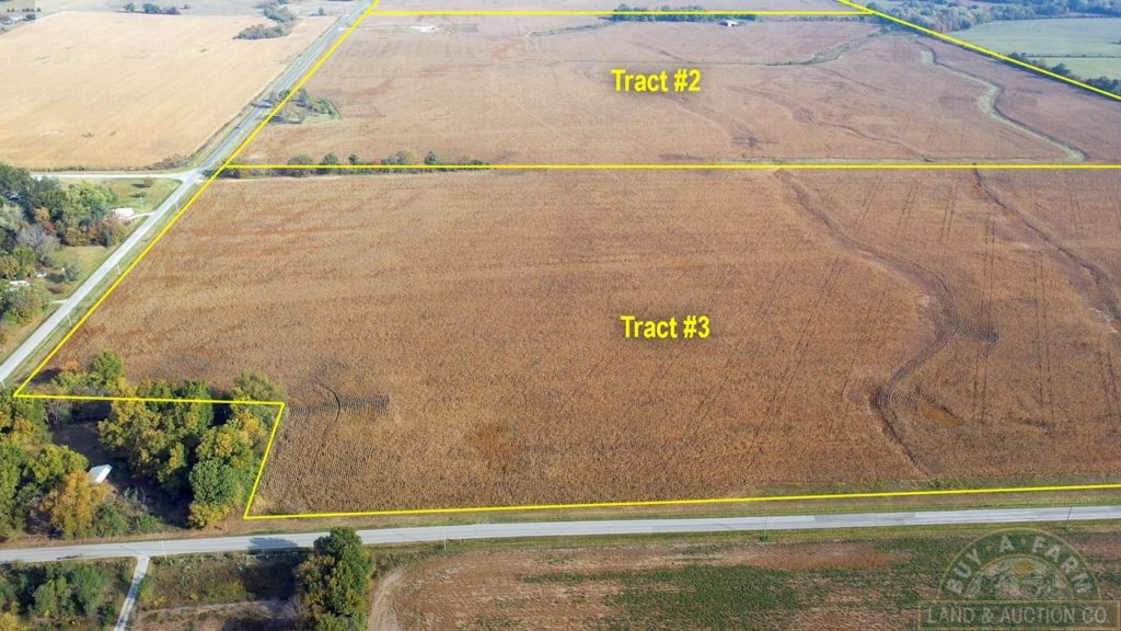
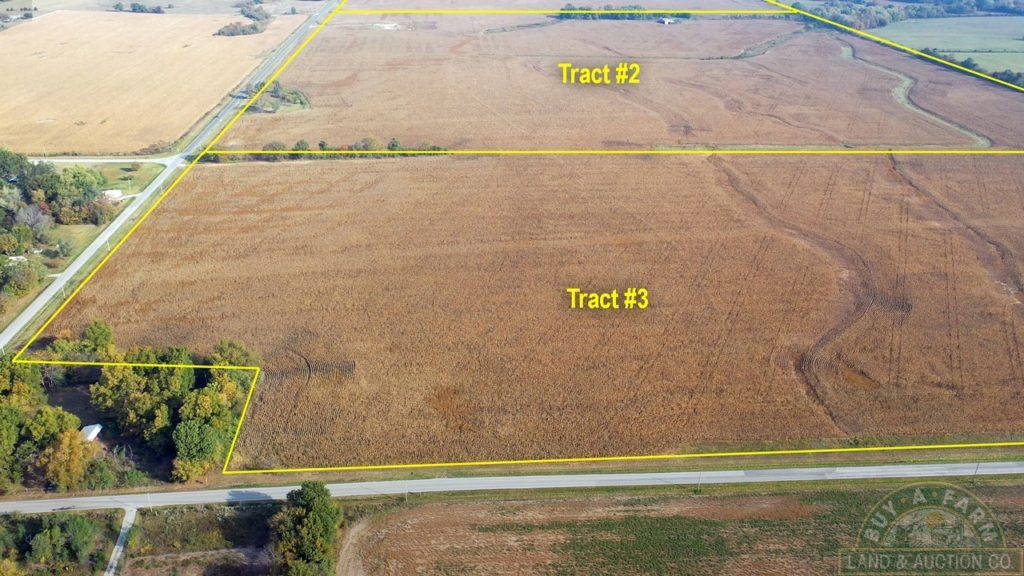
Tract #3: 78.3+- Acres
Mostly tillable. Frontage on East Hwy BB on two sides.
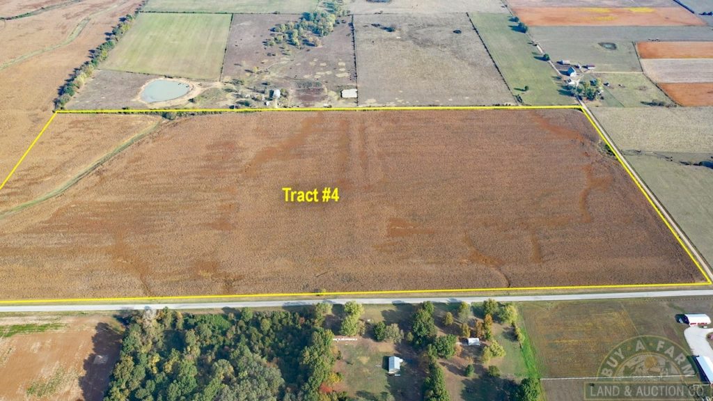
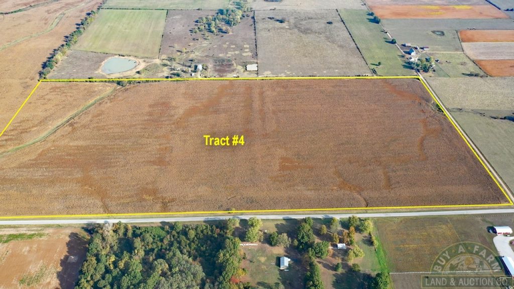
Tract #4: 79.4+- Acres
Mostly tillable. Frontage on East Hwy BB and South 101 Road.
Tract #5: 467.8+- Acres
Mostly tillable. Combination of all 4 tracts together. Road frontage on 4 sides of property.
No Buyer's Premium
YOUR BIDDING IS NOT CONDITIONAL UPON FINANCING.
Sale is subject to the confirmation of the Sellers.
REAL ESTATE TAXES: $1.16 per acre and will be prorated to closing date.
SHORT LEGAL: Part of Sections 30 and 31, Township 35 North Range 28 East, Cedar County Missouri.
SURVEY: Property will be surveyed at Seller’s expense.
PROCEDURE: Property is offered as 4 separate tracts and as a whole. Note: If the bid for Tract #5 (The combination of the 4 tracts) is equal to or more than the combination of the 4 separate tracts, tract #5 will take precedence. Bidding is on a per acre basis. The sale price for each tract will be multiplied by the surveyed acreage.
Subject to terms and conditions of US Minuteman Missile Site H0tel #8 (effects tract #2 only).
MINERAL: Any mineral interests owned by the seller, if any, will transfer.
CLOSING: Closing shall occur within 45 days or as soon thereafter as applicable closing documents are completed. Seller shall cause the Closing Statement to be delivered to Buyer at or before the closing.
SELLER’S EXPENSES: Seller agrees to pay: All costs and expenses for releasing any existing loans and/or recording releases thereof; one-half of the closing fee charged by closing agent; the cost of the title search and owner’s title insurance policy premium; the cost for the preparation of deed and if applicable, any IRS Certification Exemption Form by credit against the purchase price the Sellers obligation for real estate taxes as pro-rated to day of closing, any transfer taxes; the cost of recording any mortgage, deed of trust or lien releases as to the Property.
BUYER’S EXPENSES: Buyer agrees to pay: all expenses incident to any Buyer loan (including but not limited to, points, loan commitment fees, loan closing fees, preparation of note, mortgage, and other loan documents, recording fees, pre-payable interest, credit reports); one-half of the closing fee charged by closing agent; the cost of any copies of documents pertaining to restriction, easements, or conditions affecting the Property; the cost of recording the deed from Seller to Buyer.
POSSESSION: Possession will be given at closing.
The information is believed to be accurate; however, no liability for its accuracy, errors or omissions is assumed the owners or Buy A Farm Land & Auction Co. LLC. All lines drawn on maps, photographs, etc. are approximate. Marketing Information is from public and private sources. All information is considered accurate, but not guaranteed and subject to buyer verification. Buyers should verify the information to their satisfaction. There are no expressed or implied warranties pertaining to this property. Real estate is being sold "As Is, Where Is".
Any bid placed inside 10 minutes will extend the auction bidding another 5 minutes. This will continue until there are no more bids. Sale is subject to the confirmation of the Sellers. Any announcements made prior to the close of bidding will take precedence over written material.
SELLER: Parker Family LLC
AUCTIONEER: Wayne Keller
East Hwy BB & South Co Rd HH, Virgil City, MO

 |  |
 |  |
 |  |
 |  |
 |  |
 |  |
 |  |
 |  |
 |  |
 |  |
 |  |
 |  |
 |  |
 |  |
 |  |
Notifications